


Active Sky FS (ASFS) brings direct MSFS 2020 integration. Brand new features and functionality are made specifically for MSFS and designed to improve your weather simulation experience.
Focused on comprehensive weather realism simulation, ASFS includes high-fidelity weather data and synthesis, planning, briefing, mapping, live weather, optional historical weather with playback, custom weather, scenarios, API, multiple depiction options, active air effects, snow depth data control, voice features, Navigraph and SimBrief integration, and much, much more.
Features
Direct MSFS Integration
Using a combination of techniques for weather lookup and control, ASFS integrates directly with MSFS 2020 (v1.35 and later).
ASFS Preset weather and Passive weather depiction modes
Using Preset weather depiction from ASFS or Passive weather depiction (from MSFS live weather), a variety of weather visuals and depiction methods, offering various levels of realism, control and visual quality are available depending on your needs. Transition control and configurable smoothing is also provided in ASFS Preset mode.
Active Air Effects
Customizable clear air turbulence, thermals, drafts and wake turbulence effects work in tandem with existing MSFS effects to provide and enhance realism. Air effects are provided in any depiction mode.
Advanced Historical Weather
In addition to including Live and Custom weather modes, we also offer Historical mode with comprehensive global weather data in hourly archives. Dynamic historical playback provides realistic changing weather as per the archived historical timeline. Optionally lock the historical time to your configured simulator time for easy date/time synchronization and control through MSFS.
Enhanced Cloudscape and Thunderstorm Depiction
Using ASFS Preset weather depiction, enhanced sky condition and thunderstorm handling works to increase the visual realism and overall experience of various weather conditions including thunderstorms.
Active Sky Weather Engine
24 years of active development of weather simulation for MSFS and other platforms culminates in a mature and refined weather engine system that natively includes advanced weather data analysis, lookup, mapping, planning, briefing and more.
Advanced Data Collection, Synthesis, Modeling and Interpretation
Active Sky constantly downloads and analyzes conditions, providing world-wide high-fidelity weather conditions and effects, utilizing surface airport conditions (METARs), Forecasts (TAFs), Upper air data (GRIB), Significant Weather information (Sigmets/Airmets), Tropical storm data and more. Weather data is offered in live real-time or historical modes, with a dynamic historical weather playback feature.
Ground Snow Simulation
Using actual global ground snow depth data, ground snow cover is controlled and smoothed at all times in AS Preset depiction mode.
Comprehensive Custom Weather
Easily create multiple custom weather areas using the map screen, customizing by METAR text or through our weather setting wizard. Custom weather is supplemented by the previously loaded weather, enabling precise, variable and realistic saved weather scenarios that can be recalled at any time.
Scenarios
Fly different weather-based scenarios, or create your own.
Voice Features
Get Voice weather briefings and in-flight weather updates on your radio via our simulated ATIS/ASOS and Flight Watch simulation.
3rd-Party Integration Features
Navigraph data integration, SimBrief flight plan integration, PMDG wind data export and our universal common data export features provides integration with multiple popular 3rd-party add-ons.
Active Sky API
Advanced API features are available to everyone to integrate directly with AS features including weather lookup, effects, mode control and weather conditions control.
ASFS Weather and Cloud Depiction Specifications
ASFS Preset Weather Depiction Mode
ASFS Preset weather depiction mode features advanced weather preset conditions control for the best accuracy within the preset depiction capabilities, and full use of the Active Sky weather data and synthesis system including historical and custom weather options. This is recommend for those desiring the highest levels of conditions realism and challenge, especially for IFR ceilings and visibility, as well as long distance route planning, wind and fuel calculations:
- Available with LIVE weather, HISTORICAL weather, and custom weather
- Wind, gusts and variability control (surface and aloft, up to 60,000ft)
- Cloud layer control
- Precipitation control
- Ground snow cover control
- Temperature and humidity control
- Barometric pressure control with advanced temperature-adjusted pressure effects (appropriate corrections required for safe and/or expected IFR terminal procedures in colder or hotter temperatures)
- Visibility simulation through advanced humidity control and fog layer generation and intelligent visibility graduation and smoothing
- Smooth cloud and conditions transitions with configurable smoothing rate
- Cloud scene scattering and variation control for variety within the preset depiction area
- Weather-cell-based presentation with surface data prioritization based on flight plan
- Transitions handling (updates conditions smartly depending on flight plan and flight stage)
Passive Depiction Mode
Passive mode is used with live weather and allows MSFS’s internal live weather depiction to take full control of weather depiction in the simulator, while Active Sky FS provides Active Air Effects and all other non-depiction features (mapping, planning, voice features, conditions report, web companion app, etc.) This can provide better regional variation and cloud variations outside of Preset control, recommended for LIVE WEATHER VFR and casual flights where visuals and effects are more important than weather conditions accuracy.
Active Air Effects
Provided in either depiction mode, Active Air Effects enhance your flight with turbulence, drafts and more:
- Clear air turbulence
- Internal MSFS turbulence compatibility (for combined ASFS-applied and internal MSFS-applied turbulence effects)
- Updrafts
- Downdrafts
- Microbursts
- Thunderstorm-based turbulence and draft effects
- Gusts, wind variation and gust-related turbulence
Available since
2024-05-10
Version
v1.0.8883.1882
Supported Simulators
for Microsoft Flight Simulator
Supported Operating System
Windows
Installation Method
Contrail App
Download Size
180.1 MB
Installation Size
270.2 MB
Comparisons
Side-by-side evaluation of Active Sky versus MSFS 2020's built-in live weather. While METARs provide a basic outline of weather, both weather engines integrate more extensive information to produce their simulations.
METAR
EGUN 142055Z 13009KT 9999 BKN070 BKN120 13/12 A2964
RAF Mildenhall (EGUN) shows winds from the southeast at 9 knots, visibility over 10 kilometers, broken clouds at 7.000 and 12.000 feet, a temperature of 13°C with a dew point of 12°C, and an atmospheric pressure of 29.64 inches of mercury


METAR
KDEN 142136Z 31014G26KT 10SM BKN100 BKN140 BKN220 23/01 A2984
Denver International Airport (KDEN) shows winds from the northwest at 14 knots, gusting to 26 knots, visibility of 10 miles, broken clouds at 10,000, 14,000 and 22,000 feet, a temperature of 23°C with a dew point of 1°C, and an atmospheric pressure of 29.84 inches of mercury


METAR
NZAA 142100Z AUTO 01012KT 9999 BKN029/// 17/16 Q1013
Auckland Airport (NZAA)shows winds from the north at 12 knots, visibility over 10 kilometers, broken clouds at 2,900 feet, a temperature of 17°C with a dew point of 16°C, and an atmospheric pressure of 1013 hPa


METAR
NZWN 142100Z AUTO 02004KT 9999 OVC070/// 12/10 Q1016
Wellington Airport (NZWN) shows winds from the northeast at 4 knots, visibility over 10 kilometers, overcast clouds at 7,000 feet, a temperature of 12°C with a dew point of 10°C, and an atmospheric pressure of 1016 hPa.


METAR
CYWG 152018Z 16011KT 9SM -SHRA FEW015 BKN025 BKN060 BKN080 OVC090 13/10 A2985
Winnipeg Airport (CYWG) shows winds from the south-southeast at 11 knots, visibility of 9 miles, light rain showers, few clouds at 1,500 feet, broken clouds at 2,500, 6,000, and 8,000 feet, overcast at 9,000 feet, a temperature of 13°C with a dew point of 10°C, and an atmospheric pressure of 29.85 inches of mercury.


METAR
KBOS 151854Z 24007KT 10SM SCT044 BKN055 OVC075 19/15 A2988
Boston Logan International Airport (KBOS) shows winds from the west-southwest at 7 knots, visibility of 10 miles, scattered clouds at 4,400 feet, broken clouds at 5,500 feet, overcast at 7,500 feet, a temperature of 19°C with a dew point of 15°C, and an atmospheric pressure of 29.88 inches of mercury.


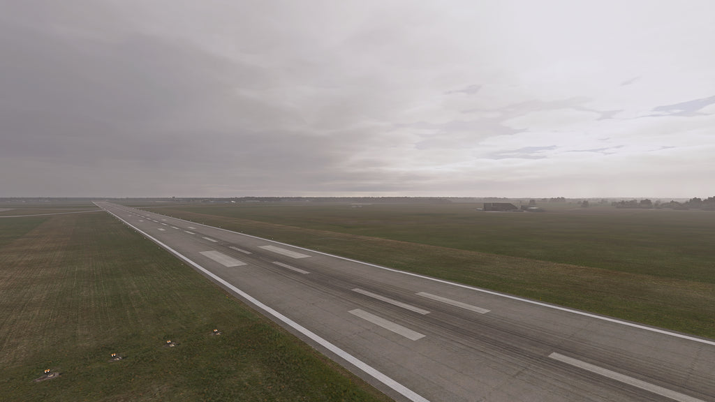
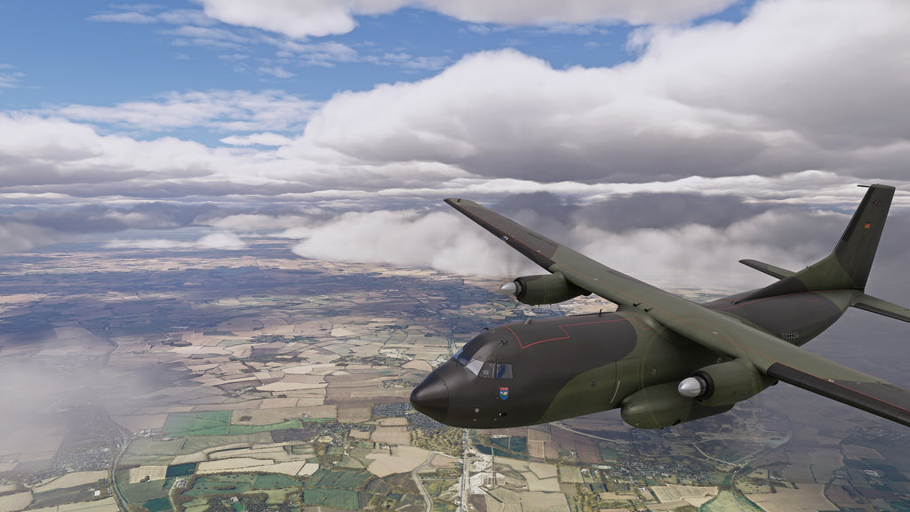
Gallery


