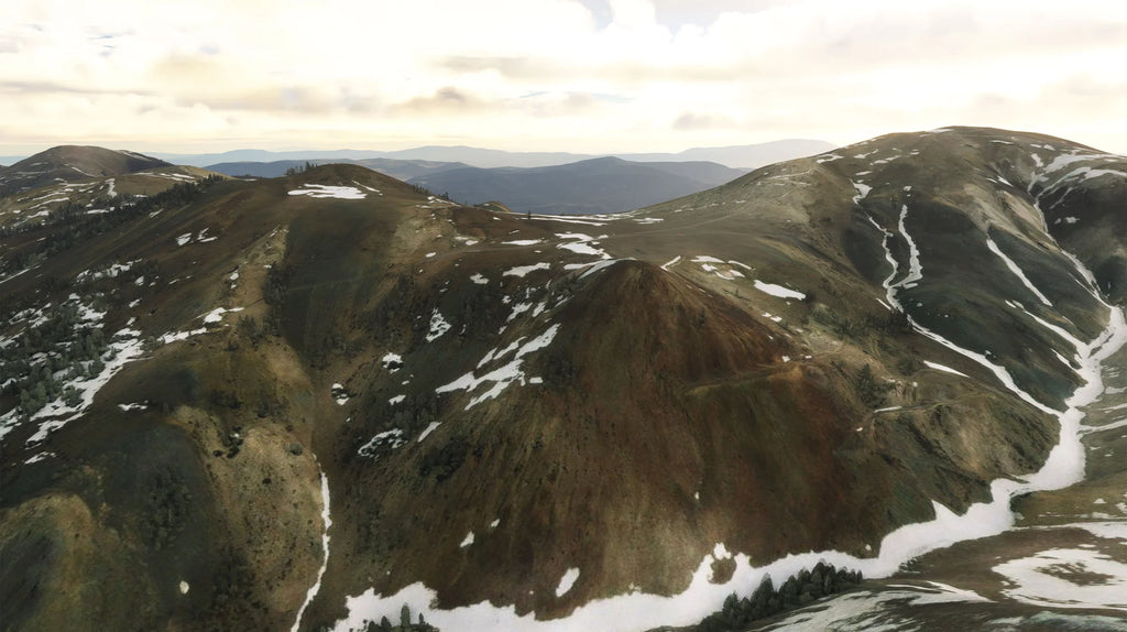


Three BLM landing areas in Mono County, California, in the Sweetwater Range.
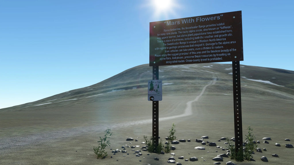
42MW Mars with Flowers
A place of extreme weather and altitude near the Mount Patterson Summit.
- Featured in Trent Palmer's video titled "I landed my plane on an 11,000ft mountain."
- Accurately recreated trailhead marker
- Challenging altitude and weather
- Terraformed region to resemble real-world data.
- Custom ground texturing to resemble real-world data better.
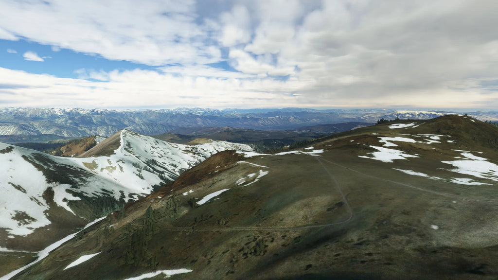
42MP - Mount Patterson Peak
A summit of 11,654 feet in elevation makes it the highest mountain in the Sweetwater range.
- Accurately recreated animated American Flag at peak
- Custom Soundscape includes Flag and hardware in the wind
- Challenging short landing area located at a high altitude
- Terraformed region to resemble real-world data correctly
- An incredible spot to enjoy sunrise/sunset
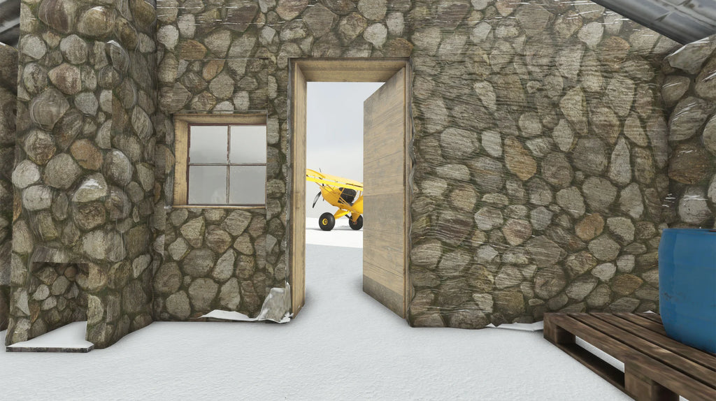
42MM - Montague Mine
Stone Cabin A miner's cabin built from local stone in the 1800s is used for shelter by hikers today.
- Fully recreated stone cabin
- Custom Soundscape includes squeaking door in the wind
- Challenging short landing area located in a valley at a high altitude
- Terraformed region to correctly resemble real-world data
- Custom-modeled interior full of fun surprises
Available since
2024-06-09
Supported Simulators
Microsoft Flight Simulator 2020
Version
v1.3.1
Supported Operating System
Windows
Installation Method
Contrail App
Download Size
93.3 MB
Installation Size
180.1 MB
Gallery


