Located in Slovenia's Julian Alps, Bovec Airport "Letališče Bovec" (ICAO: LJBO) is one of the most popular alpine mountain airports. It is located just a few hundred meters above the emerald Soča river, surrounded by high mountains. Bovec Airport, at an elevation of 1414.0 feet, has a 2700 ft (823 m) long grass runway in the direction of 07/25 (070°/250°). Various parachuting events and organizations are held in the valley under the name of Skydive Bovec. Now on the MSFS platform with its gorgeous nature!
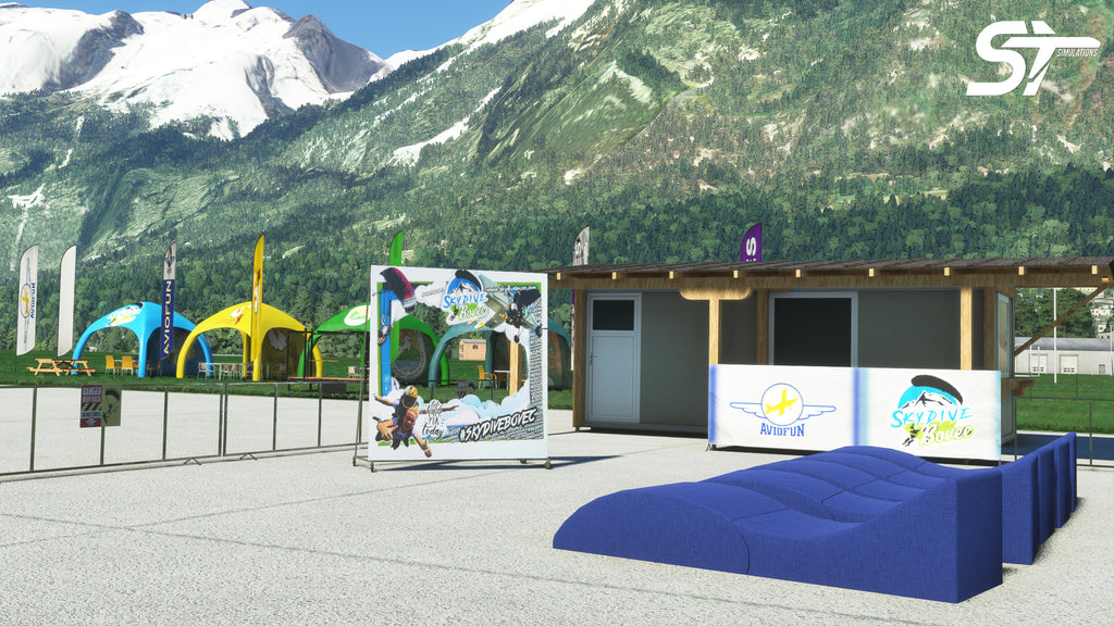
With this add-on, many special 3D models have been added for Bovec Airport. High resolution, detailed models are used. Appropriate objects have been placed for Bovec, the tandem skydiving center. Training is given at the skydiving school. The land has been reshaped. Brand new 3D models and details will be added in future updates.
Bovec Airfield does not publish a METAR. The nearest weather station is Tarvisio, 20 km (12 mi) away. Flight information region (FIR) is Ljubljana ACC.
The city of Bovec is surrounded by important mountain peaks such as Kanin, Prisojnik, Matajur, Krn, Mangrt, Jalovec, Škrlatica and Triglav. Triglav National Park hosts hiking organizations with its fascinating beauty. Around Bovec is a wonderful hiking (Brjeka) route, which also includes the Soča river. Take a wonderful journey in the Alps of Slovenia with the panoramic flights you will organize from Bovec Airport!
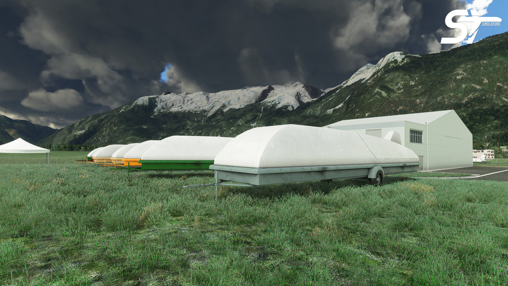
• Custom Hangar of the Bovec Airport with interior details
• Cafe Aeroklub Bovec 3D Model
• SkyDive Bovec
• Animated Country and Event Flags
• Custom Gliders and Trailers
• Custom Event Tents
• Highly Detailed Textures, Physically Based Rendering (PBR), Reflective and Realistic Textures
• Realistic and Highly Detailed Representation of the Airport
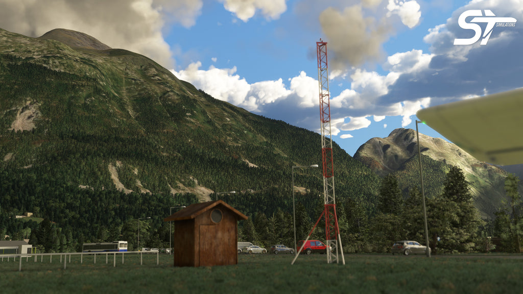
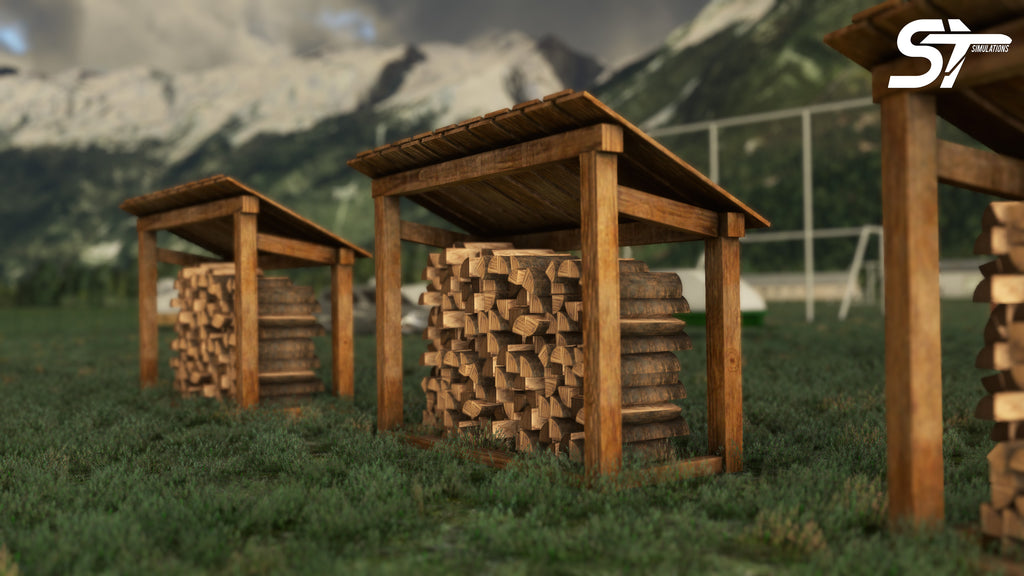
• A lot of custom objects, models and details for the environment
Available since
2022-04-01
Version
v1.1.0
Supported Simulators
for Microsoft Flight Simulator 2020 and Microsoft Flight Simulator 2024
Supported Operating System
Windows
Installation Method
Contrail App
Download Size
349.8 MB
Installation Size
1.1 GB