Welcome to the Rothenburg ob der Tauber EDFR commercial airfield, probably one of the most popular approach destinations for VFR pilots due to its beautiful location and the lovely old town of Rothenburg, which can be quickly reached by rental bikes.
The airfield is located at 1309 ft. which corresponds to 399 m, about 3 kilometres east of the town of Rothenburg ob der Tauber.
Starting in 1957, flying took place on the current site, which was then expanded into an airfield in 1960 and in the course of the 1960s, two hangars and a workshop were added. Originally, the runway was asphalted to 450m in the 70s, before it was extended to 600m and a tower was built. From 1980, the runway was given permission for customs and passenger handling, and in 2003 the runway was extended to just under 1000m.
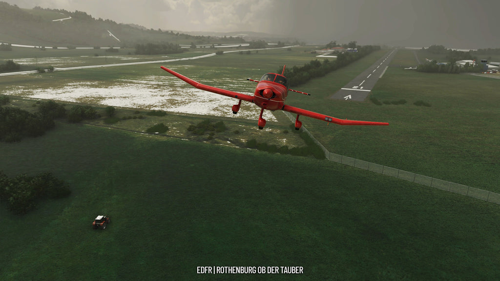
Today the runway has dimensions of 950m x 20m asphalt with alignments RWY 03 and RWY 21, the runway round elevation is 2500ft. MSL (Main Sea Level).
The radio frequency is 126.360 and the maximum take-off weight (MTOW) is 5700kg for all aircraft. The Aero Club Rothenburg o.d.T. e.V. is located at the airfield and has about 150 members in the field of powered flight, gliding and ultralight.
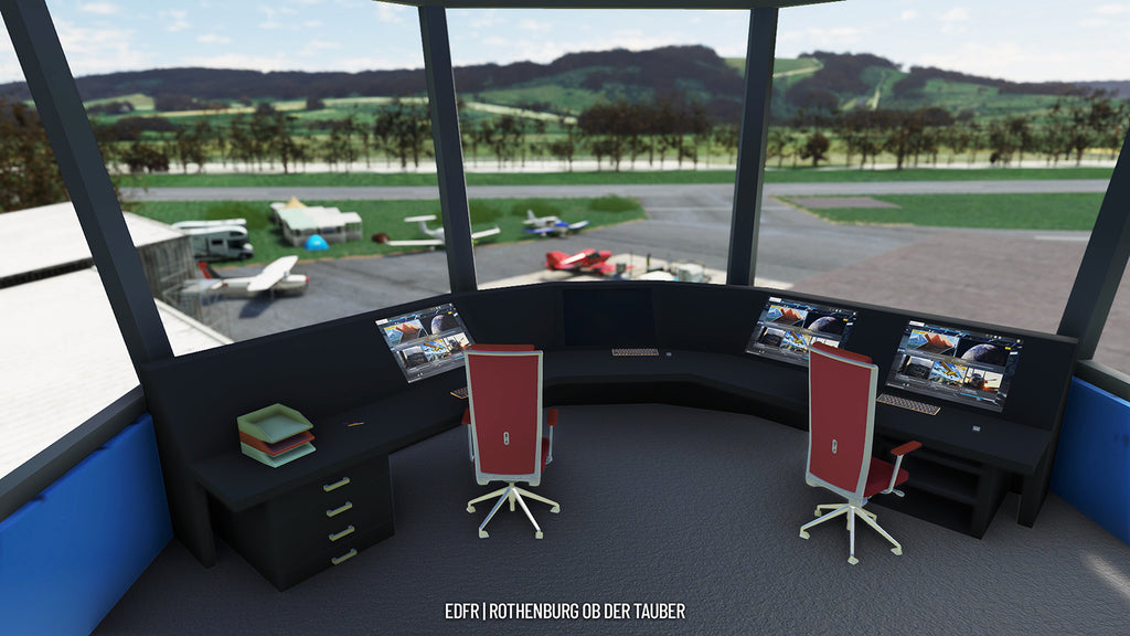
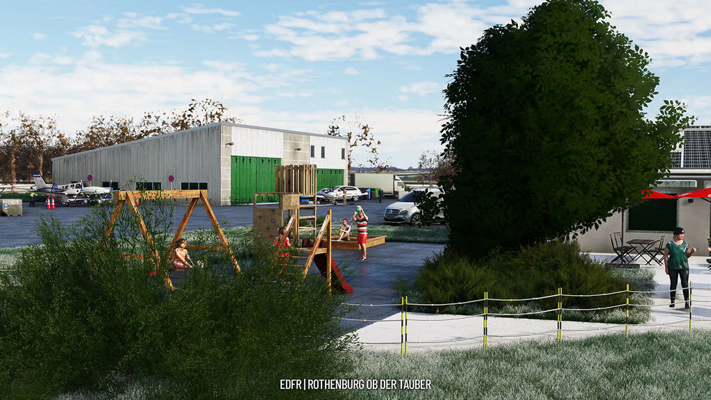
The airfield has several service buildings, a tower, six hangars and a restaurant. The fuel station contains JETA1 as well as AVGAS.
The special thing about Rothenburg is the approach, which takes place around a slope near the airfieldas a reward for a nice flight, you then borrow bicycles and experience a wonderful day in the historic district of Rothenburg, 3 km away.
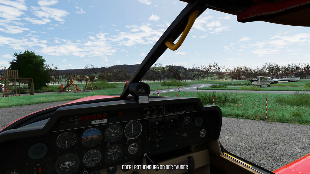
- Buildings, restaurant, hangars and gas station at the airfield were modeled after the original - for this purpose the airfield was flown to in real and many detail shots were taken.
- Close cooperation with the airfield operator on site to create an atmosphere like in reality - special thanks to the local air sports club for drone shots of the airfield as well as the flight control.
- The approach sector was recreated in detail
- Original VFR charts and approach sheet from EDFR with the kind permission of the German Air Traffic Control.
Available since
2023-02-17
Supported Simulators
Microsoft Flight Simulator 2020
Version
v1.0.0
Supported Operating System
Windows
Installation Method
Contrail App
Download Size
1.1 GB
Installation Size
2.7 GB


